The ChiliView Series - Mt. Evans Area / Georgetown The ChiliView Series - Mt. Evans Area / Georgetown
More screenies:
Prev
Next
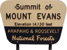
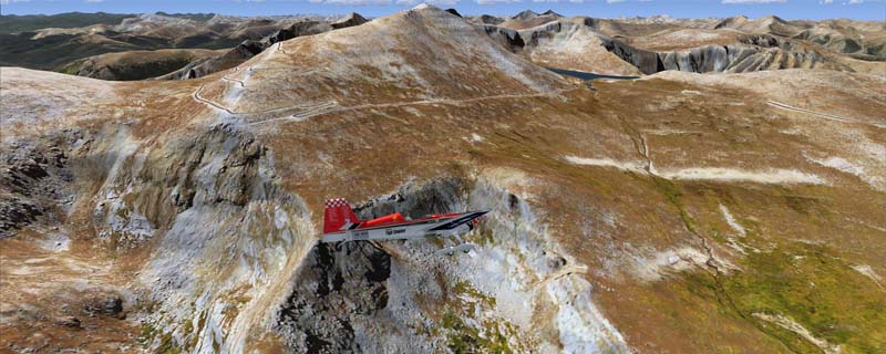
Extends our Rocky Mountain National Park region to the south providing another 3.500 sq km of stunning Continental Divide scenery. Contains Mount Evans where you can see the highest paved road in the US that goes thru three live-zones and leads right to the top at 14.264 ft. Or fly west along Interstate 70 until it disappears into Eisenhover tunnel that cuts thru the Continental divide at an elevation of 11.158 ft which makes it the highest vehicular tunnel in the world. Contains many other mountains and mountain passes as well.
The adapted airports for this area are available in the collection of all Colorado airports provided by Joop Mak: BSS_CO_0618.zip.
It covers a total of 3625 sq km.
For FSX and Prepar3D.
The resolution of 1 m/pix brings you razor-sharp images even near the ground.
Best enjoyed in low and slow operations!
Navigate to neighboring regions:
North
South
East
West
|
!!! BlueSkyScenery needs YOUR help !!!
If you like our sceneries, then please give a little donation.
Your donation makes a difference and helps us to continue this project!
|
Give $1.00:
|
|
|
Give $5.00:
|
|
|
Give $10.00:
|
|
|
Give $20.00:
|
|
Download:
|
FS9 Version:
|
Scenery
|
Airports
|
| |
|
For FSX & P3D:
|
Scenery
|
Airports
|
Scenery Mirror
|
You can support the freeware project by visiting our sponsored links:
|
|
|
All information on this site strictly for simulation use only!
All Trademarks copyrighted. (c) by BlueSkyScenery. All rights reserved.

|
|
|