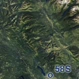
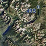
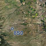
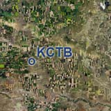
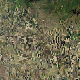
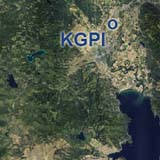
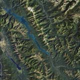
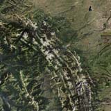
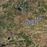
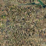
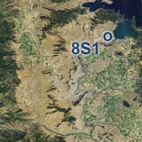
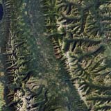
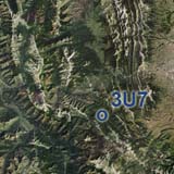
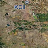
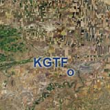
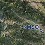
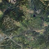
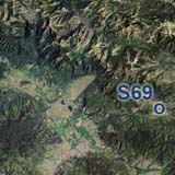
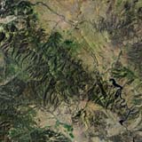
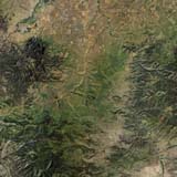
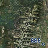
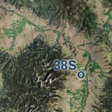
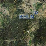
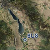
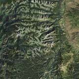
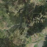
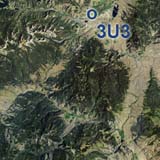
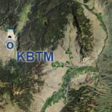
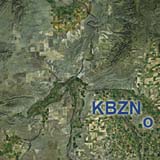
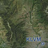
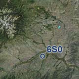
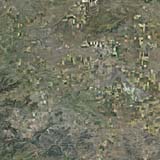
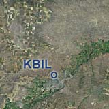
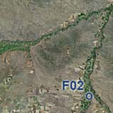
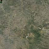
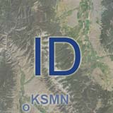
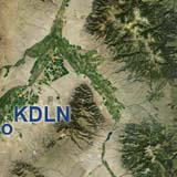
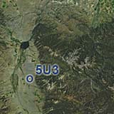
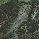
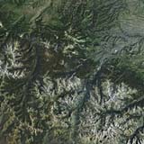
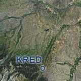
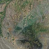
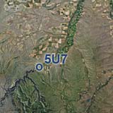
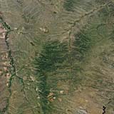
When we did the northern part of the Yellowstone/Teton area we got a glimpse of the mountains just across the stateline in southern Montana. And, you guessed it, we couldn't resist. Big Sky Country, here we come! This overview map shows our currently expanding total Montana coverage in ChiliView quality. Click on the thumbnail of any region to go to it's download page. Navigate to neighboring states: South to Wyoming South to Idaho
|
You can support the freeware project by visiting our sponsored links:
|
All information on this site strictly for simulation use only! |
All Trademarks copyrighted. (c) by BlueSkyScenery. All rights reserved. 
|
||||||||||||||||||||||||||||||||||||||||||||||||||||||||||||||||||||||||||||||||||||||||||||||||||||

 The ChiliView Series - Montana